The Central Maine Community of FREEDOM is situated at approximately a 500 foot average elevation along Route 137 running between Belfast on the coast and Waterville inland. Freedom Village is approximately 20 minutes to Belfast, 25 minutes to Waterville, 35 minutes to Augusta, the state capital, 1 hour to Bangor, and 2 hours to Portland. You can view Freedom's location in Maine, the Northeast, and the United States by using Google controls on this map. You can also see scenic locations using the Figure Icon.
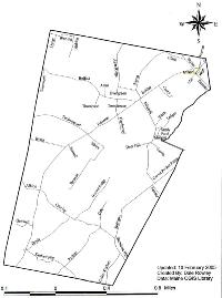
Road and Street Map
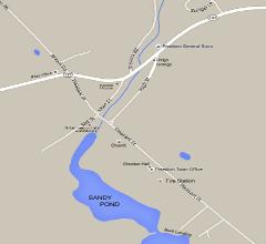
Freedom Village
VIEW/DOWNLOAD PDFs